7.5-Minute Quadrangle in West Tennessee
Geology of the Enville quadrangle in Chester, Henderson and McNairy Counties in Tennessee
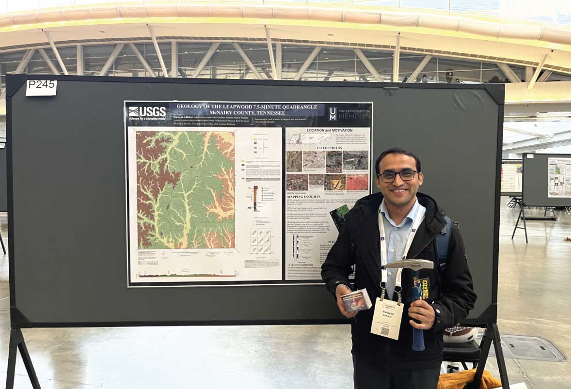
The United States Geological Survey (USGS) Educational Mapping Program (EDMAP) is designed to provide students the opportunity to gain experience collecting geologic data and to learn how to produce a professional-quality geologic map and cross section. In 2022-2023 our team embarked on our first EDMAP project “Geology of the Leapwood 7.5-minute quadrangle in McNairy County, Tennessee”. The primary student mapper for this project was Narayan Adhikari, a Ph.D. student in the Department of Earth Sciences. Narayan was assisted in the field by undergraduate geology major Jeffery Collins. Their work was awarded 2nd place in the student mapping competition at the recent Geological Society of America’s annual meeting in Pittsburg, Pennsylvania. Our EDMAP research continues this fall with a second grant “Geology of the Enville 7.5-minute quadrangle in Chester, Henderson, and McNairy Counties, Tennessee”. Katherine (Kade) Parsons, a M.S. student in the Department of Earth Sciences, will act as the primary student mapper.
Together these projects aim to determine the spatial distribution of Cretaceous (~ 70-million-year-old) sand in western Tennessee at a finer-resolution than has previously been mapped. The distribution of Cretaceous sand units is important due to their high abundance of critical minerals that could directly impact the economy of western Tennessee.
- The Energy Act of 2020 defines a “critical mineral” as a non-fuel mineral or mineral material essential to the economic or national security of the U.S. and which has a supply chain vulnerable to disruption. Critical minerals are also characterized as serving an essential function in the manufacturing of a product, the absence of which would have significant consequences for the economy or national security. – USGS.gov
Specifically, we are interested in zirconium (zircon) and titanium dioxide (rutile). In western Tennessee, it has been recognized since the 1970s that these heavy minerals are in high abundance near Camden but decrease to a non-economical level south of Interstate 40. We are mapping between Interstate 40 and the Tennessee-Mississippi state border to provide modern insights to the abundance of these minerals and to understand the disparity between the two regions. Samples collected in the field are being evaluated using X-ray fluorescence spectroscopy and uranium-lead mass spectrometry to characterize the chemistry and ages of the sand units. Upon completion, this work will be disseminated to the public through the Tennessee Geological Survey and the United States Geological Survey.
As the Principal Investigator on these projects, I enjoy providing students with a gateway to field science and witnessing their application of critical thinking skills, which has the potential to launch them into a vast array of professional career paths. I am grateful for the support that we receive from the USGS, the Department of Earth Sciences, and the College of Arts and Sciences. This work is both academically interesting and provides economically useful information for the citizens of western Tennessee!

Narayan Adhikari receiving 2nd place in the student mapping competition at the annual meeting for the Geological Society of America

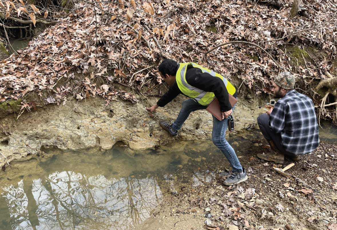
A field photo of Narayan Adhikari and Jeffery Collins investigating an outcrop on the Leapwood 7.5-minute quadrangle in western Tennessee.
