Spatial & Community Analysis
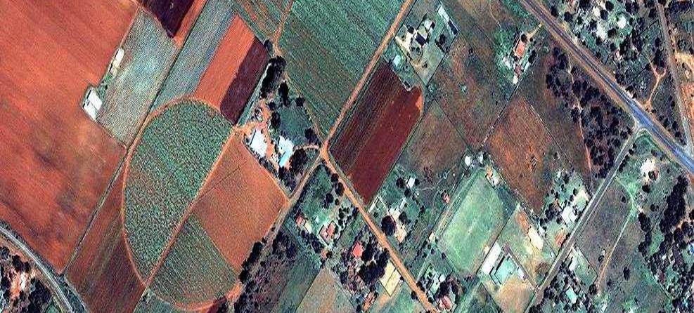
The Department of Earth Sciences offers an interdisciplinary research focus in Spatial and Community Analysis centered on advancing Geographic Information Science approaches to understanding human, natural, and human-environment systems. We engage in research areas such as Geographic Information Systems (GIS), Remote Sensing (RS), medical geography, urban geography, biogeography, hazards, dendroclimatology, archaeology, and urban environmental issues. The faculty in spatial and community analysis are partners of the FedEx Institute of Technology and remain a key contributor to Center for Applied Earth Science and Engineering Research (CAESER).
The biogeography research concentrates on forest dynamics, distribution and conservation of species and ecosystems using field studies, GIS and RS. Our climate research addresses the variability of past climates and associated biogeographic consequences, with implications for gauging threats of ongoing climate change, land use and population growth. Medical geography research deals with the issues of women’s reproductive health, environmental exposure impacts, infectious diseases, mapping health disparities. Urban and economic research studies distribution and concentration of employment, poverty, and population dynamics. Hazards research focuses on various aspects of natural and man-induced hazards using spatial analysis techniques.
The Spatial Analysis and Geographic Education Laboratory (SAGE) conducts research in GIS and medical geography, and fosters training of teachers and does various outreach activities with local high schools.
We offer a graduate-level GIS Certificate Program for those with a bachelor's degree in a relevant field, and with an interest in using GIS as a problem-solving tool. The GIS certificate and a suite of courses offer opportunities to students pursuing a GIS career in various fields, including environmental analysis and consulting, city and regional planning, crime analysis, real-estate developers and natural resource management, to name just a few.
The TAF computer lab is a principal GIS teaching facility with 25 computers and state of the art GIS/RS and statistical software. We offer field equipment such as GPS units with Arc Pad licenses.


